You will like also
Masseube
Masseube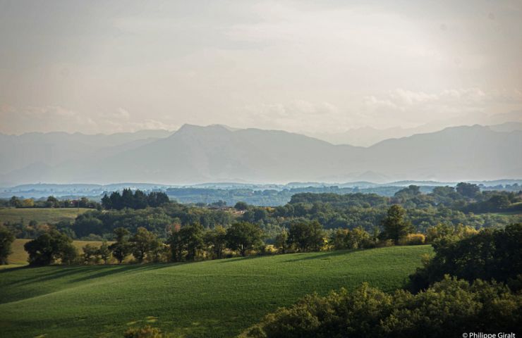
Masseube is familiar with the Pyrenees! From its high hills, we can see the chain of these high and majestic ...
220 m - Masseube
The water of the island of Ager
The water of the island of Ager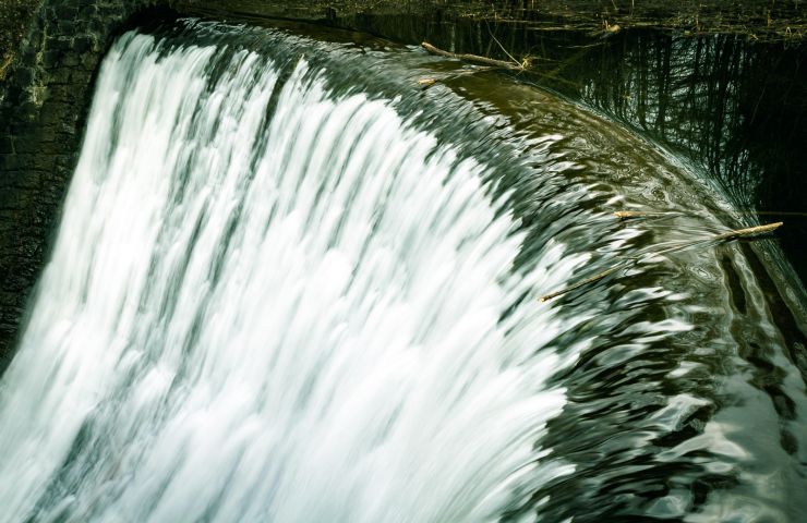
The island of Ager is a small body of water formed by the Gers, in the town of Masseube. The surroundings form an ...
665 m - Masseube
Lake Astarac and its hillsides
Lake Astarac and its hillsides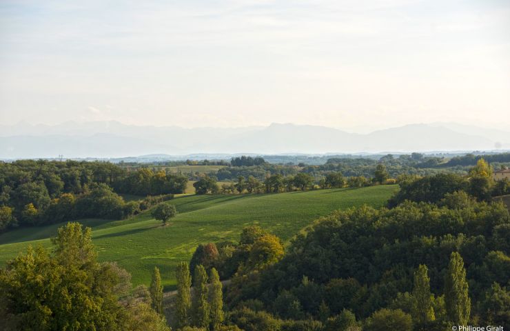
On what is called the " natural balcony of the Pyrenees ", Lake Astarac is a privileged environment, near Masseube. ...
6,7 km - Bézues-Bajon
The Valley and Slopes of Lauze
The Valley and Slopes of Lauze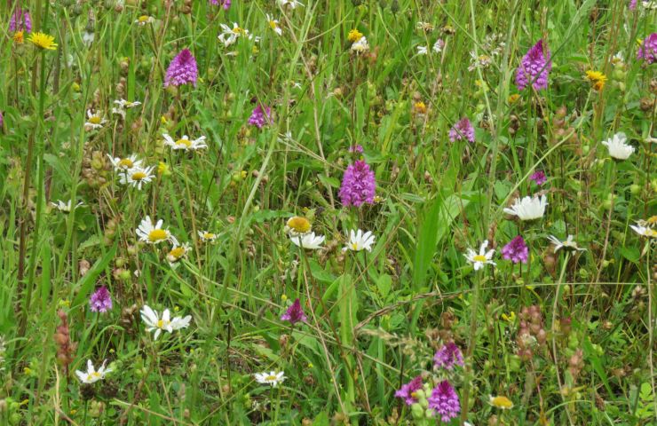
The Valley and the Coteaux de la Lauze is a large area classified as “ Natura 2000 ”. It stretches between the ...
10,2 km - Meilhan
The Turk's Wood
The Turk's Wood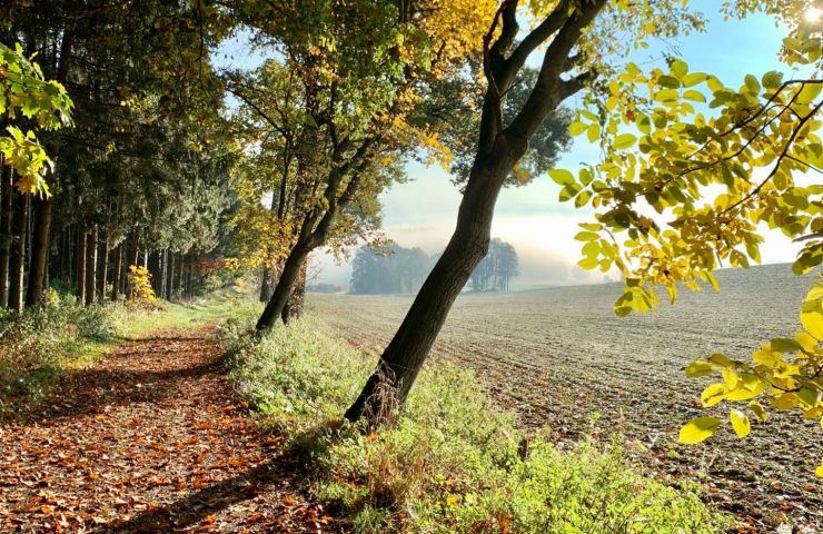
South of Auch, the Bois du Turc is a small forest estate, typical of the Gers. Indeed, it is a very old forest. ...
10,9 km - Labéjan
We tested for you
Top 10 free things to do in the Gers
Top 10 free things to do in the Gers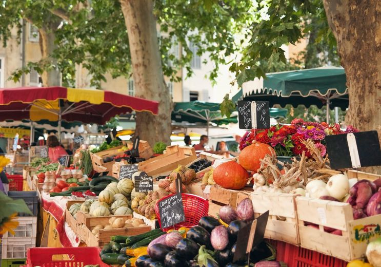
24,1 km - Auch
Not to be missed
Sustainable and responsible tourism in the Gers
Sustainable and responsible tourism in the Gers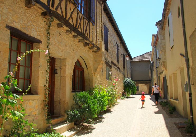
24,1 km - Auch
Not to be missed


